Last updated August 6, 2026
Back to all people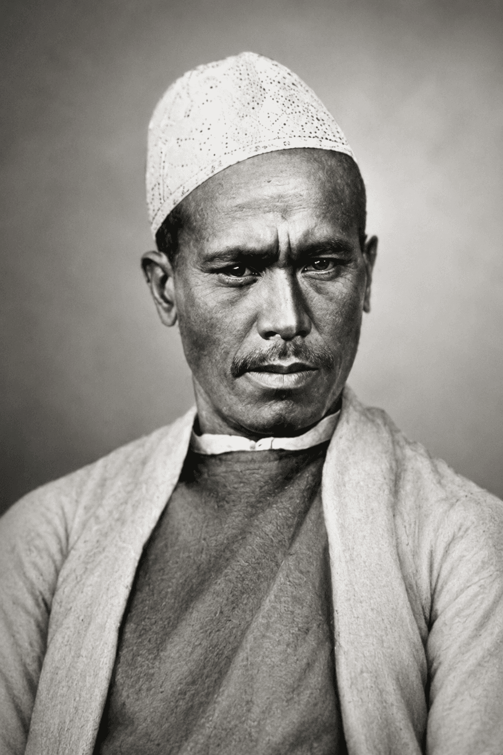
Nain Singh Rawat
Scientist1830 – 1895
Notable figure from Uttarakhand
Explorer and cartographer who mapped Tibet and the trade route to Lhasa
“The mountains called, and I answered.”
— Nain Singh Rawat
Timeline
1830
Born in Milam village, Pithoragarh district, in the Johar valley
c. 1863
Recruited and trained by the Great Trigonometrical Survey of India as a "Pundit" explorer — taught to covertly measure distance using a modified rosary and hidden compass
1865–66
Undertakes a covert survey journey to Lhasa disguised as a trader, mapping a route through Tibet closed to official British surveyors
c. 1873–75
Leads further exploratory surveys across Western Tibet, extending the mapped route and measuring the heights of Himalayan peaks
1877
Honoured by the Royal Geographical Society for his explorations, becoming one of the first Indians to receive such recognition from the Society
1895
Dies, leaving behind survey records that remained a key source for maps of Tibet for decades afterward
Major Achievements
- 1First Indian to receive the Royal Geographic Society Gold Medal
- 2Mapped over 1,200 miles of Tibetan territory
- 3Measured height of many Himalayan peaks
- 4Discovered the source of the Tsangpo-Brahmaputra River
You might also like